
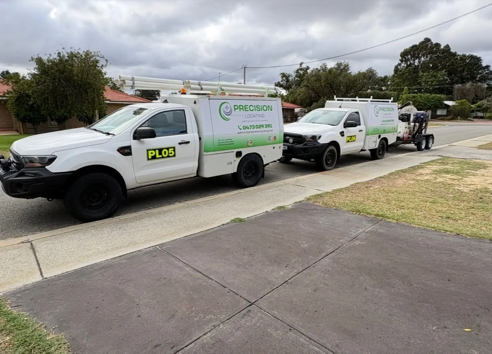
Equipment
Equipment For Clearer Underground Information.
Locating, scanning, exposure and capture tools are combined to investigate conductive and non-conductive services across Perth worksites.
Connected Capability
Different Assets Need Different Ways Of Seeing.
Ground penetrating radar, electromagnetic locators and vacuum excavation each answer a different part of the underground question.
No single tool can remove every variable. Ground conditions, service depth and surrounding materials can affect what is detected, so the investigation method is matched to the site and the planned works.
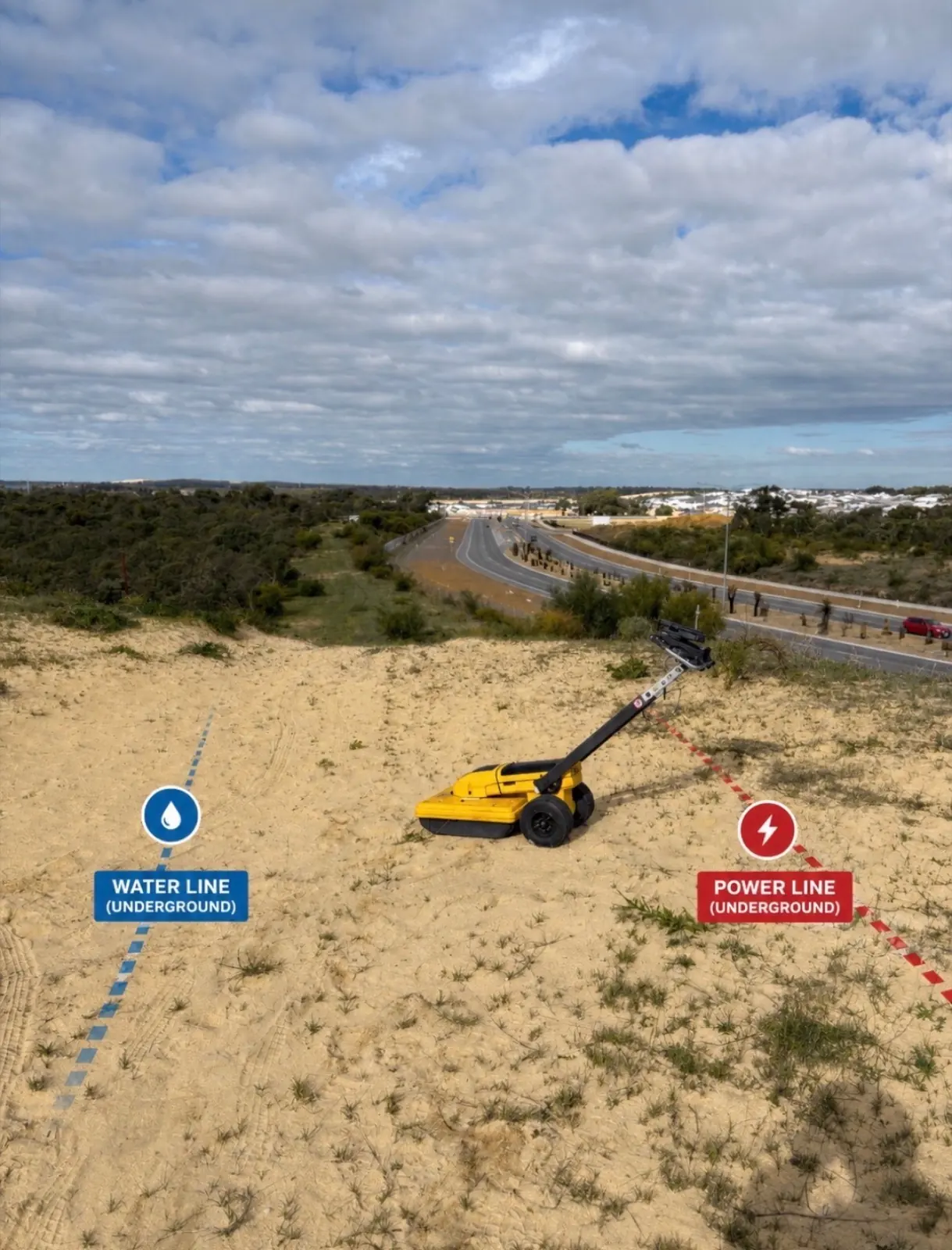 Explanatory GPR visual
 01 / Locate And Scan
Electromagnetic Locating And GPR.
Electromagnetic locators identify conductive utilities. GPR helps investigate non-conductive services and unknown subsurface assets.
Used together where appropriate, these methods can build a clearer view of electrical power, communications, gas, water, stormwater, PVC conduits and other underground infrastructure.
Explore GPR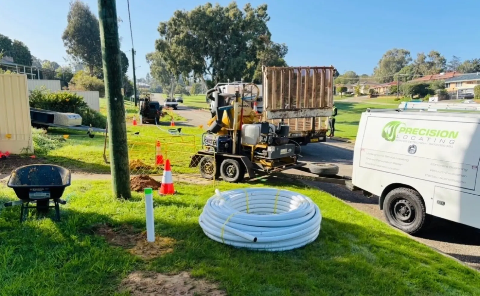
02 / Expose And Verify
Vacuum Excavation.
High-pressure water and vacuum extraction expose underground services without conventional mechanical excavation.
Potholing can help confirm the depth and alignment of a located service, investigate unknown assets and provide clearance before drilling, excavation or construction works.
Explore Vacuum Excavation03 / Capture And Record
Field Findings And Reporting.
Clear field records and reporting turn the investigation into information that can be used by engineers, contractors and project managers.
Reports can document located services, verified assets, investigation areas and site observations. The format and investigation scope depend on the requirements of the job.
See Reporting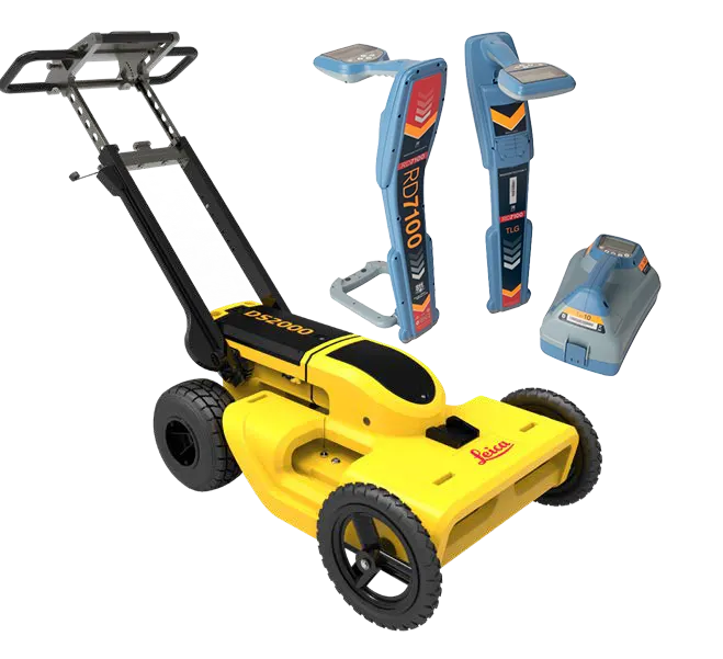
Field Ready
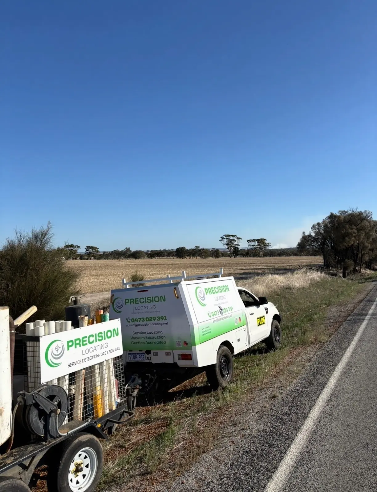
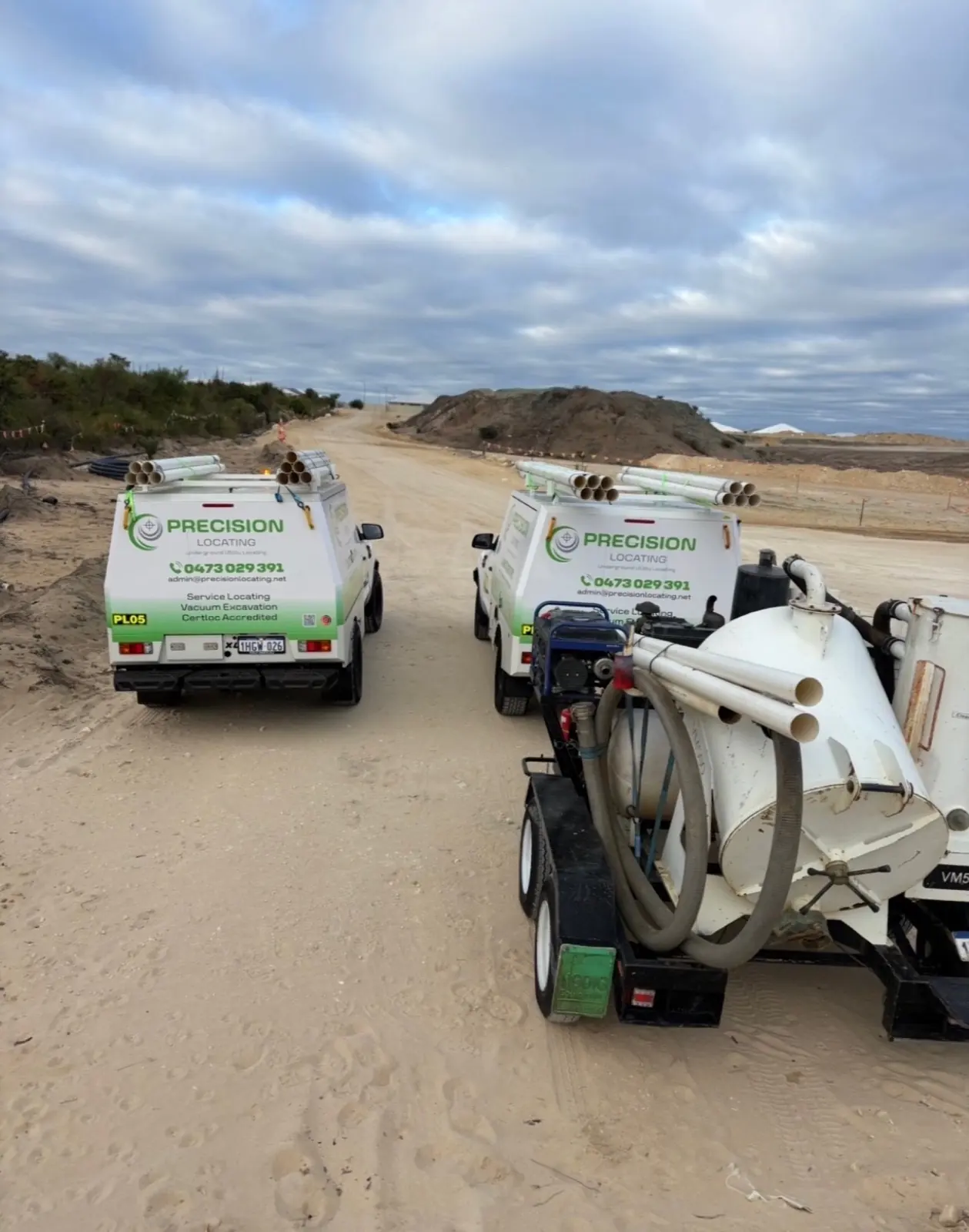
Locating And Exposure Equipment On Site.
Match The Method To The Site.
Send the location and planned works. Precision Locating can assess which locating, scanning or verification methods may be required.